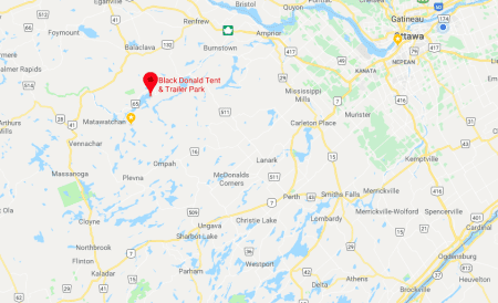
black donald & centennial lake
Black Donald
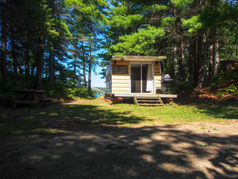
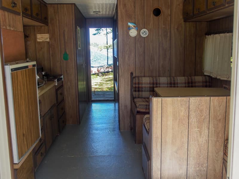
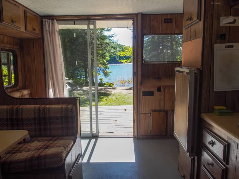
Tent & Trailer Park
40 kilometers of spectacular water
Black Donald Tent & Trailer Park sits on the southeast corner of Black Donald Lake. Black Donald Lake connects with Centennial Lake to form a beautiful 27-mile long continuous waterway. Together, these lakes form a section of the Madawaska River system that begins at Source Lake in Algonquin Park and flows into the Ottawa River as part of the St. Lawrence River drainage basin.
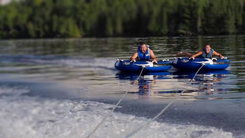
Black Donald and Centennial Lake offers fantastic opportunities for water sports and exploration including everything from kayaking and canoeing to sailing, powerboating, waterskiing, and fishing. Along the shoreline, you will find dozens of quiet hidden bays, channels, and inlets where you can drop a line, or just to sit back and relax while taking in the sunshine.
fishing black donald & centennial lake
The Black Donald – Centennial Lake waterway was formed in 1967 when the Mountain Chute Dam was built to produce a hydro reservoir that flooded a section of the Madawaska River and surrounding mountains and hills. As a result, dozens of islands, bays, channels and inlets formed along the rocky shoreline which now provides the perfect ecosystem to maintain healthy and varied fish habitats.
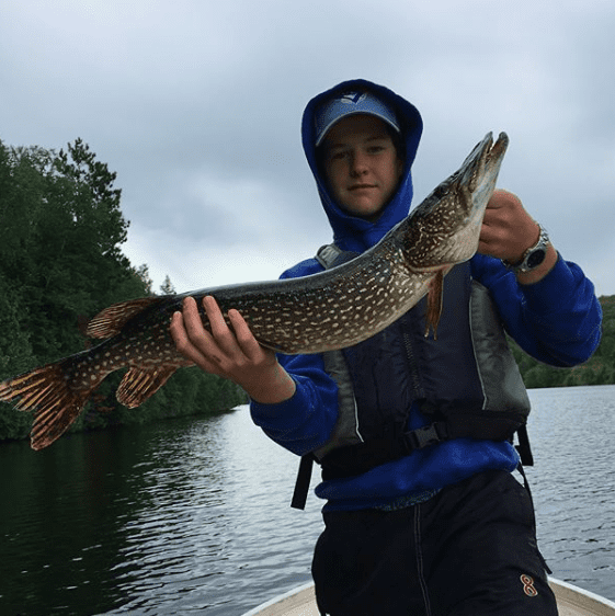
With a little exploration, you will find all sorts of opportunities to drop your line. These lakes offer opportunities for many different species of fish including Northern Pike, Smallmouth Bass, Largemouth Bass, Pickerel (Walleye), Whitefish, Perch, Rock Bass, Channel Catfish, Burbot, and Muski. There are also numerous trout lakes that are just a short drive away or that can even be easily reached by foot after landing your boat along the shoreline.
Bass fishing opens on the 4th Saturday of June providing exciting reeling opportunities from our large population of Small and Largemouth Bass.
Pickerel (Walleye) fishing opens on the 3rd Saturday in May and is a favoured species in these lakes, but you will need to take note of Zone 15 regulations which include a 20″ minimum size and 2 fish limit (1 per license).
Northern Pike season also opens on the 3rd Saturday in May, and there are great opportunities here for bringing in some tremendous examples of this species.
getting around the lake
Get ready to explore! The waters in the center of the main channel of Black Donald and Centennial Lakes are deep and free of unmarked shoals and hazards, making this an ideal destination for visiting boaters!
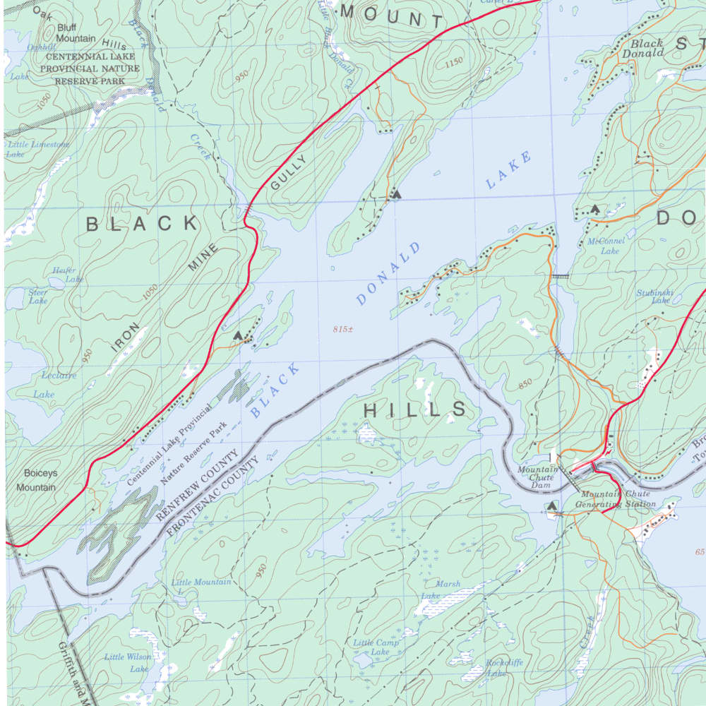
As you can see from the map, these lakes form a “V” shape, with Black Donald running south-west and Centennial Lake running north-west. Just outside the bay of our campground lies a wide-open expanse of water; this section is quite easy to navigate, and any hazards are clearly marked with buoys. It provides an excellent spot for many types of watersports!

As you travel south-west and begin to approach Centennial Lake, the main channel narrows and the route gets a little more complicated as bays and channels abound. Unless you are familiar with the lake, or an experienced boater, a GPS or map is recommended to navigate these sections and find your way back to the campground.
If you decide to explore some of the smaller bays and channels on either lake, you will be rewarded with some fantastic scenery and find some great fishing opportunities! When exploring these channels, keep your eyes open for visible obstructions that might not be marked with buoys. As you travel deeper into these channels and side-channels, and as they begin to narrow, you will want to apply some navigational common sense since the water becomes shallower in some areas.
Downloadable Contour Maps of Black Donald & Centennial Lake
Caution: These maps are not intended for navigational purposes and might not reflect current conditions. Uncharted hazards could exist. This map has not been verified and we cannot attest to the accuracy of this data.


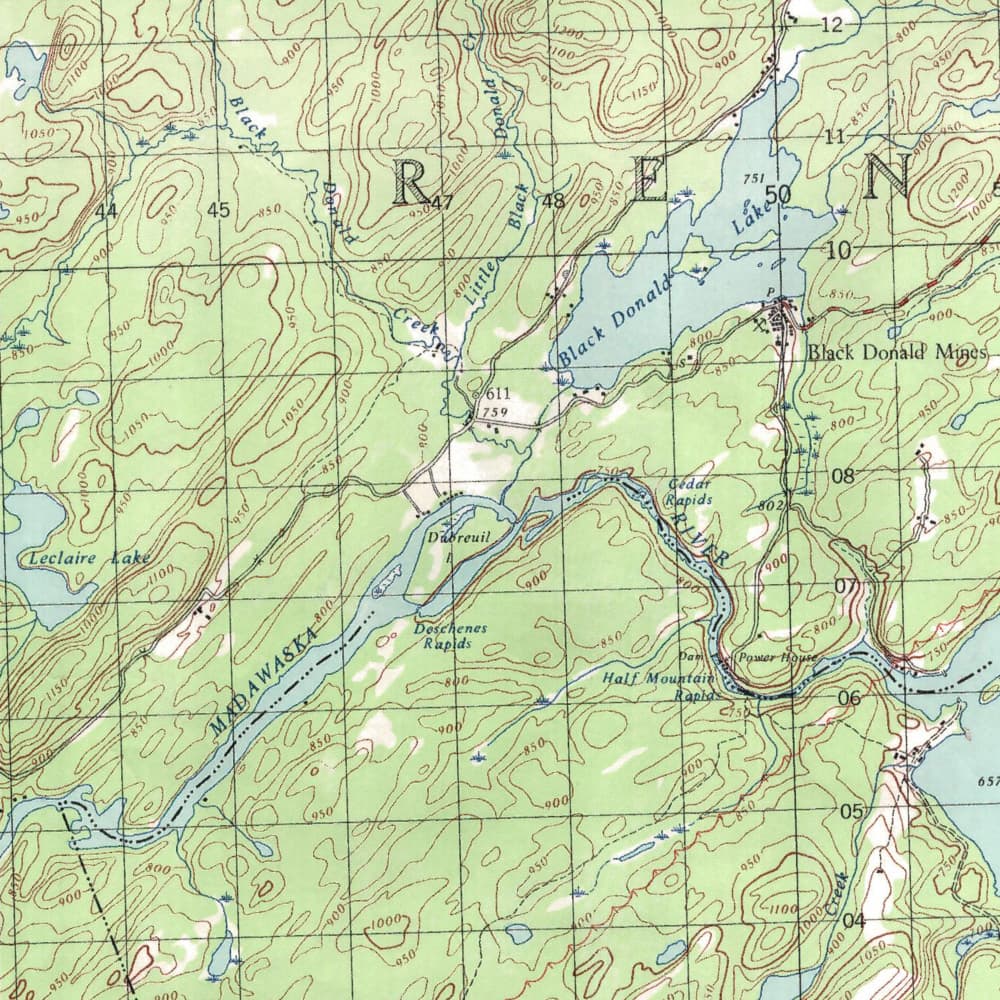
Map of black donald lake before flooding in 1967
and Black donald lake today
In 1967, Ontario Hydro created a large hydro reservoir by building the Mountain Chute dam. In total, 5,500 acres were flooded. The entire town and mine site of Black Donald is now underwater – just off the shore of our campground.
The reservoir lake, known as Centennial Lake, includes Black Donald Lake, which was originally called Whitefish Lake. The map below compares a portion of the lands flooded by comparing the lake today to a 1951 map. Drag the handle or click on the map to view the comparison.
Slide handle to view map Before & After 1967